Lamprey River Fishing Spot
- County: strafford county,rockingham county
- Elevation: 148'
- Last Modified By: salientwolf on 08/26/14 12:51 PM
- Ask about Lamprey River in our Fishing Forums
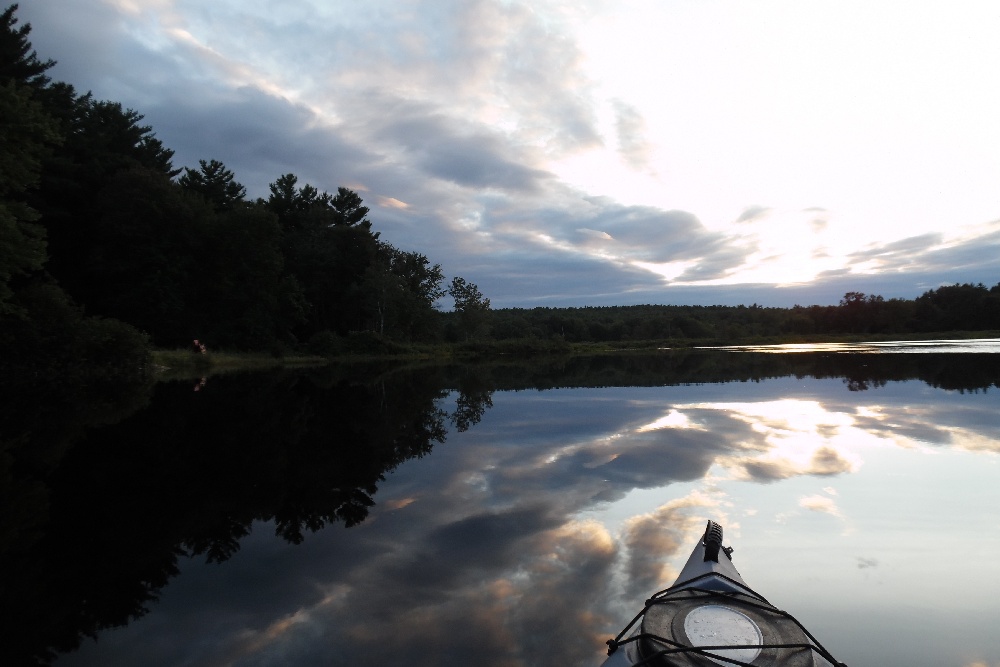
Photos

Fish Species
Comments
-
forgot to mention that it was the dam in Epping, At mary blaire park.
-
This portion of river has changed. The dam that was here at the baseball field has been taken out, there is shallow fast water moving through most of this now, and the larger pond across the street is just a winding stream about 10-14 feet across in spots at max
Lamprey River Baits and Tackle
Worm Check Prices
- Wacky-rigged yum dinger
- wacky-rigged yum dinger
- Wacky-rigged yum dinger
Lizard Check Prices
Lamprey River Description
The Lamprey River is a 50.2 mile long (80.8 km)
river in southeastern New Hampshire, the United States. It rises in Meadow Lake in Northwood, and flows south, then generally east past Raymond, Epping, Lee and finally Newmarket. Here, it meets Great Bay, a tidal inlet of the Atlantic Ocean, to which it is connected by a tidal estuary, the Piscataqua River.
The shoreline of the Lamprey River, its floodplain and its wetlands provide a wide range of valuable wildlife habitats. Its anadromous fishery is one of the strongest in the Great Bay watershed. The river is also rich in species of freshwater mussels.
Segments of the river are rich in history. Saw and grist mills which operated by water power were common along the river. The Wiswall Falls Mill Site in Durham is on the National Register of Historic Places. Originally a sawmill, the site was used subsequently to make knives, nuts and bolts, pitchforks, carriages, matches and wallpaper.
The river from the Bunker Pond Dam in Epping to the confluence with the Piscassic River is part of the designated National Wild and Scenic River System. Along the banks are hardwood forests and numerous farms. The area is under pressure from suburban development, however, as one of the fastest-growing areas in New England.
During the course of its journey from the Saddleback Mountains in Northwood down to Newmarket, the Lamprey changes from a small torrential stream to a large tidal river. The river between these points has slow meanders and rapids, and small waterfalls such as Packers Falls in Durham.
Coordinates: 43°03?54?N 70°54?18?W? / ?43.0651°N 70.9049°W? / 43.0651; -70.9049