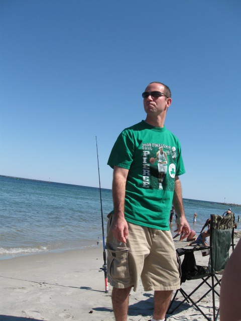
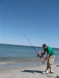
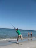
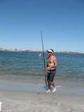
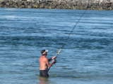
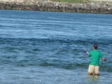
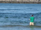
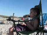
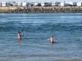
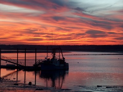
Hampton Harbor Fishing Spot
- Public Fishing: Yes
- Last Modified By: carpmaster on 03/19/09 09:25 PM
- Ask about Hampton Harbor in our Fishing Forums
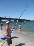
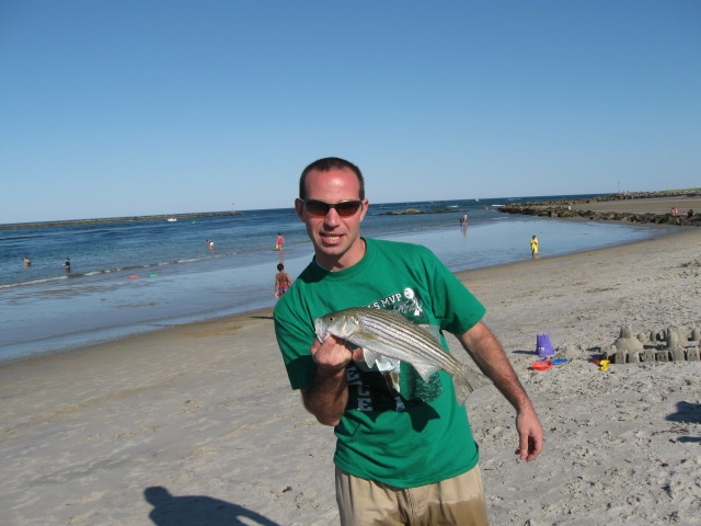
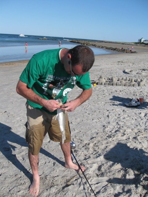
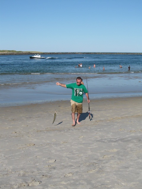
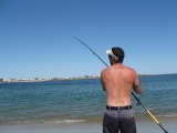
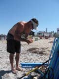
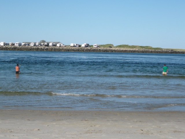
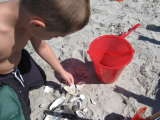
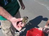
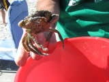
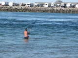
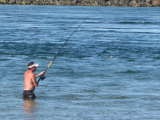
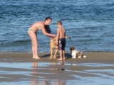
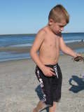
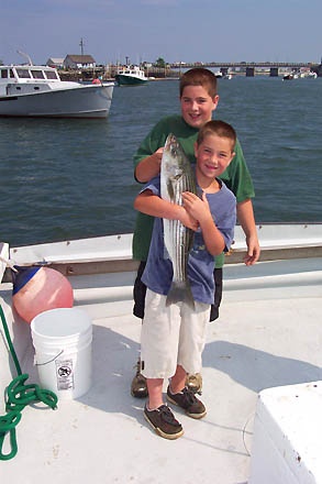
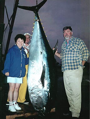
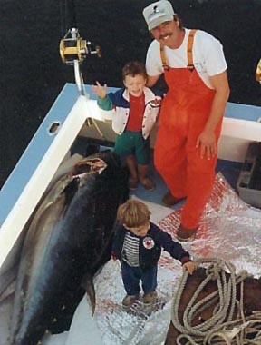
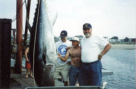
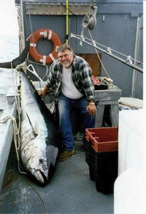
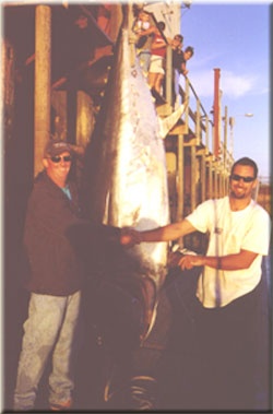
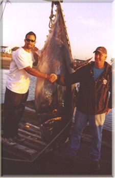
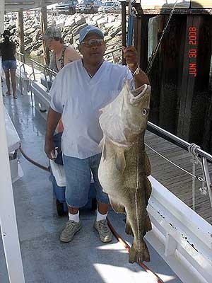
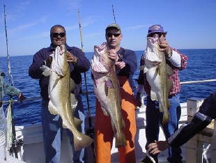
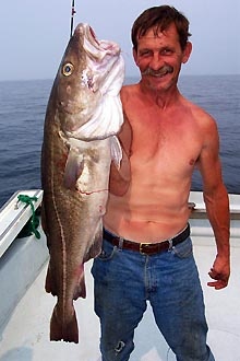
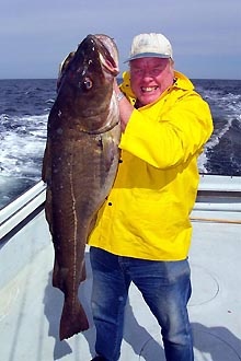
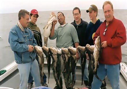
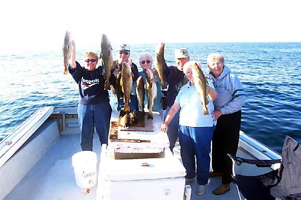
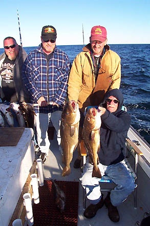
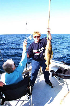
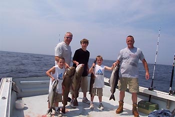
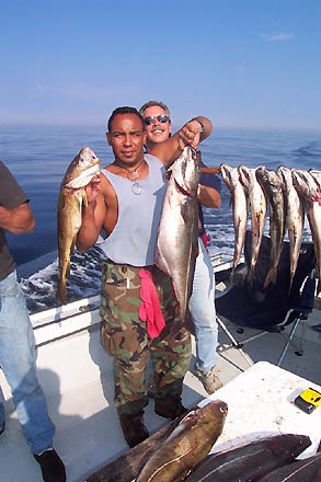
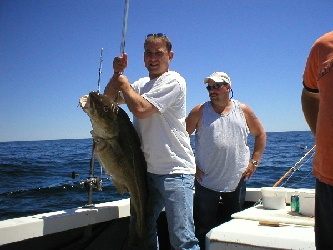
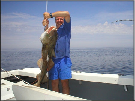
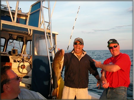
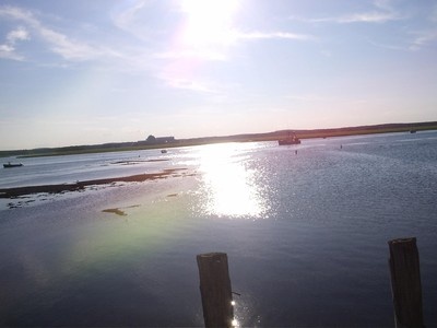
Photos


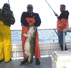
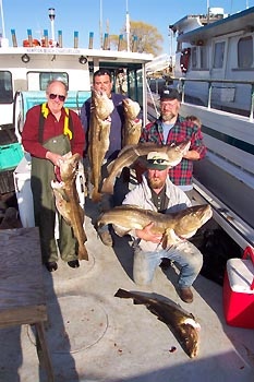
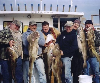
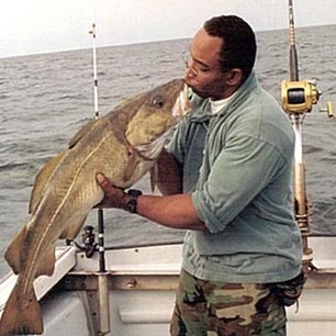
Fish Species
Comments
-
Have you fished at Hampton Harbor? Be the first to comment on this fishing spot.
Hampton Harbor Baits and Tackle
Live Bait (Other) Check Prices
- fishing bottom with hand dug worms
- Fresh live mackeral
Hard Swimbait Check Prices
Lizard Check Prices
- hit while sinking
Hampton Harbor Description
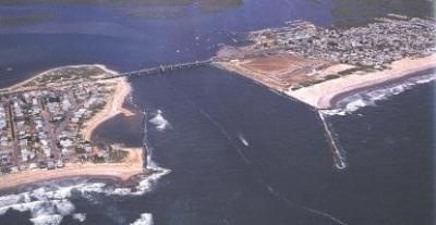
Hampton Harbor and the adjacent waterfront are located at the southern end of Hampton Beach along the Hampton River. Hampton Harbor is an inlet from the Atlantic Ocean that is formed by the confluence of the Hampton and Blackwater Rivers. The Blackwater River represents the southern portion of the harbor and is principally within the town of Seabrook. The Harbor provides a variety of marine-related activities with recreational boating and commercial fishing the most common. One of the Harbor’s best assets, aside from its relatively deep water and protection from severe storms and waves, is its location on the New Hampshire seacoast. Vessels have direct access to the Atlantic Ocean with only several hundred yards of channel length. The entrance to Hampton Harbor is through a federal channel that is maintained by the US Army Corps of Engineers (ACOE) and is bordered by two stone jetties on either side of the inlet. These jetties were installed in the early 1930’s to stabilize the inlet. This inlet, first dredged in 1965, allows navigation from the outer ocean through a relatively narrow channel that separates Hampton Beach State Park to the north and the Sun Valley section of Hampton to the south. Prior to the channelization by the ACOE, the inlet was actually south of the Sun Valley area. Hampton Harbor is principally an anchorage for numerous pleasure craft, as well as commercial fishing vessels, and charter boats for deep-sea fishing and whale watching. The harbor’s configuration and depth allow many vessels to use its waters. Several shallow areas in the harbor, such as near The Willows, restrict vessel navigation, which is fast becoming a major problem for boaters. Controlling depth for navigation in the harbor is approximately 5-6 feet, although dredging is required at least every 5 years to maintain this depth. The last dredging was in 1998. Continual sedimentation and shoaling creates a problem not only in the channel but also outside the channel. In an effort to guide vessels in the harbor, the state maintains three channel markers. With continual shoaling in various parts of the harbor, depths of 2-3 feet or less are common. These areas can change incrementally from year to year. Consequently, local knowledge is required for safe passage of vessels. The Hampton River Marina located on the northwest portion of the Harbor is the only privately operated, full-service marina in the Harbor area. This marina provides a variety of services including: a boat lift, a boat ramp, a seasonal restaurant, the only pumpout in the harbor, showers, a laundry, recreation room and repair services. It also provides fuel, electricity, ice, and services for transient boaters. Other than at the State Marina, there is no other public access in the harbor area. Additional access points could be made at the town-owned property or possibly at the marsh located north of and adjacent to the Hampton River Marina. This marsh is known locally as the Willows.