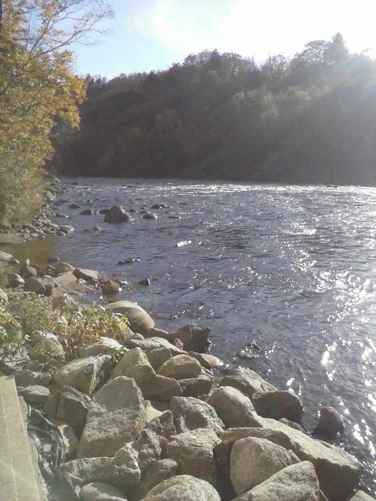
Pemigewasset River Fishing Spot
- County: grafton county
- Elevation: 1950'
- Last Modified By: lreynoldssau4.org on 09/24/22 08:22 AM
- Ask about Pemigewasset River in our Fishing Forums
Photos
Fish Species
Comments
-
Have you fished at Pemigewasset River? Be the first to comment on this fishing spot.
Pemigewasset River Description
The Pemigewasset River (known locally as "The Pemi") is a river in the state of New Hampshire, the United States. It is 65.0 miles (104.6 km), in length and (with its tributaries) drains approximately 1,021 square miles (2,644 km2).The Pemigewasset originates at Profile Lake in Franconia Notch State Park, in Franconia. It flows south through the White Mountains and merges with the Winnipesaukee River to form the Merrimack River at Franklin. The Merrimack then flows through southern New Hampshire, northeastern Massachusetts and into the Atlantic Ocean.The Interstate 93 highway runs parallel with the river between Franconia Notch and New Hampton. The river passes through the communities of Lincoln, North Woodstock, Woodstock, Thornton, Campton, Plymouth, Ashland, Bridgewater, Bristol, New Hampton, Hill, Sanbornton, and Franklin.
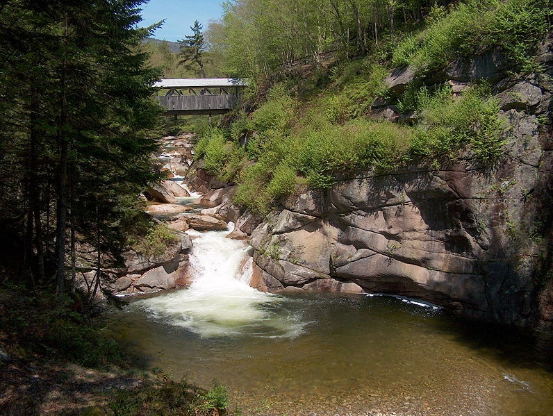
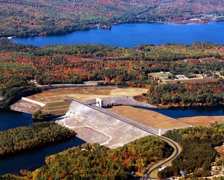
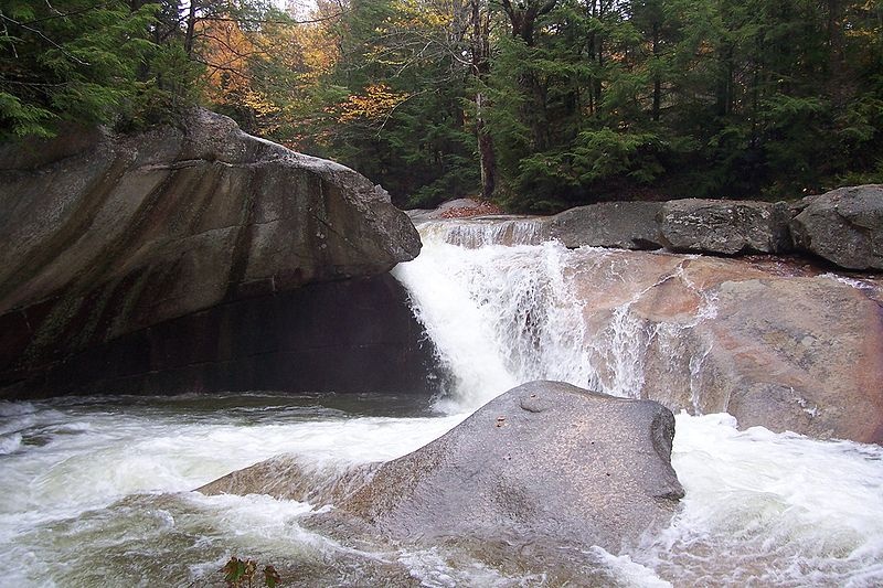
The river descends over waterfalls in Franconia Notch, including The Basin, passes cascades in North Woodstock, and drops over Livermore Falls north of Plymouth. The remainder of the northern Pemi, from Lincoln to Ashland, is a braided river that passes over copious gravel bars and attracts numerous boaters and fishermen. Below Ashland, the river is impounded by the Ayers Island Dam, a hydroelectric facility, for over five miles. A short stretch of heavy whitewater is found below the dam, before the river reaches the impoundment zone for the Franklin Falls flood control reservoir. The river crosses one additional hydroelectric dam below Franklin Falls before joining the Winnipesaukee River in the center of Franklin.
The Pemigewasset watershed consists of over 1100 miles of rivers and 17,000 acres (69 km) of lake, pond, and reservoir area. The watershed comprises about 20 percent of the Merrimack's total watershed area.
The Pemigewasset River (IPA: /?p?m?d???w??s?t/), known locally as "The Pemi", is a river in the state of New Hampshire, the United States. It is 65.0 miles (104.6 km), in length and (with its tributaries) drains approximately 1,021 square miles (2,644 km2).[1]