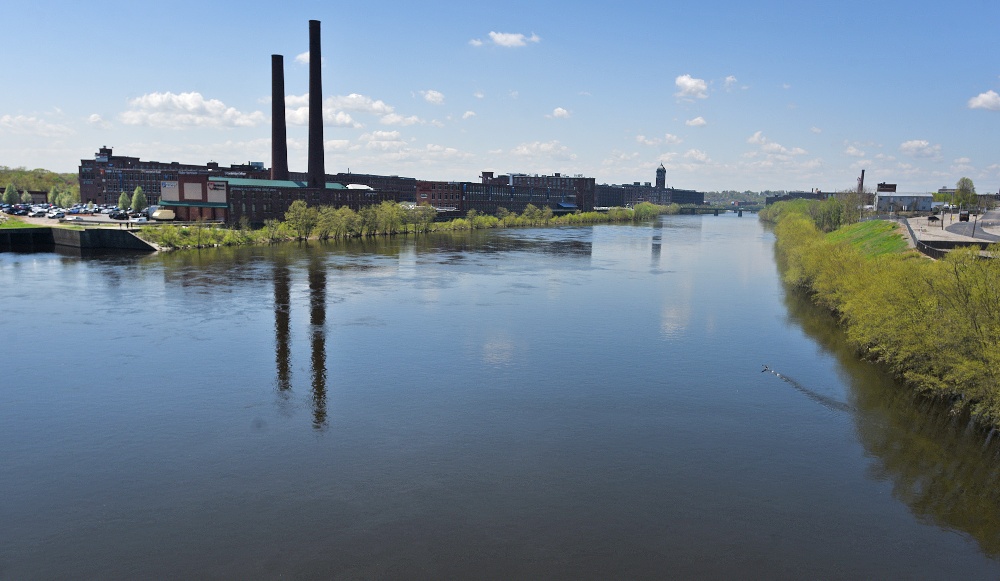
Merrimack River Fishing Spot
- County: Merrimack County
- Public Fishing: Yes
- Elevation: 317'
- Last Modified By: fruka9989 on 07/12/20 03:35 PM
- Ask about Merrimack River in our Fishing Forums
Photos
Fish Species
Comments
-
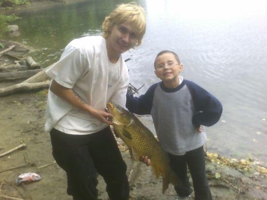
Alot of stripers in the merrimack and hard to catch with a rubber lure since they always get caught on rocks. These stripers chase the shad from the ocean all the way down the river which is why they are there. I’ve seen stripers down the river even as far as Lawrence MA
Merrimack River Baits and Tackle
Jigs Check Prices
- jig & worm
- same
i was trowing a jig and my son was throwing a worm
Nightcrawler Check Prices
- reg. worms
Merrimack River Description
The Merrimack River (or Merrimac River, an earlier spelling that is sometimes still used) is a 110-mile (177 km)-long river in the northeastern United States. It rises at the confluence of the Pemigewasset and Winnipesaukee rivers in Franklin, New Hampshire,[1] flows southward into Massachusetts, and then flows northeast until it empties into the Atlantic Ocean at Newburyport. From the point where the Merrimack turns northeast in Lowell, Massachusetts onward, the Massachusetts?New Hampshire border is roughly calculated as the line three miles north of the river.