Angle Pond Fishing Spot
3 Rating based on
1 Reviews
- Acreage: 161
- Public Fishing: Yes
- Mean Depth: 14'
- Max Depth: 35'
- Website: http://www.wildlife.state.nh.us/Fishing/bathy_maps/angle_sandown.pdf
- Last Modified By: cat_eguina on 04/08/21 12:09 AM
- Ask about Angle Pond in our Fishing Forums
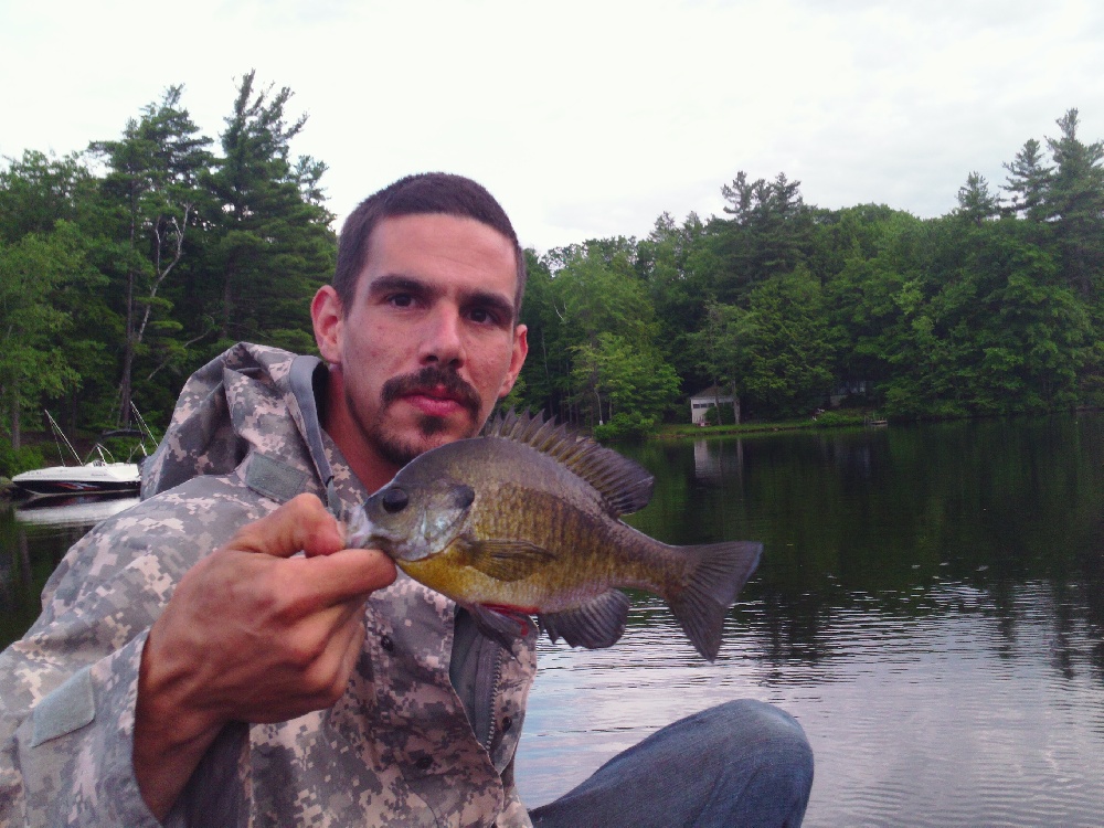
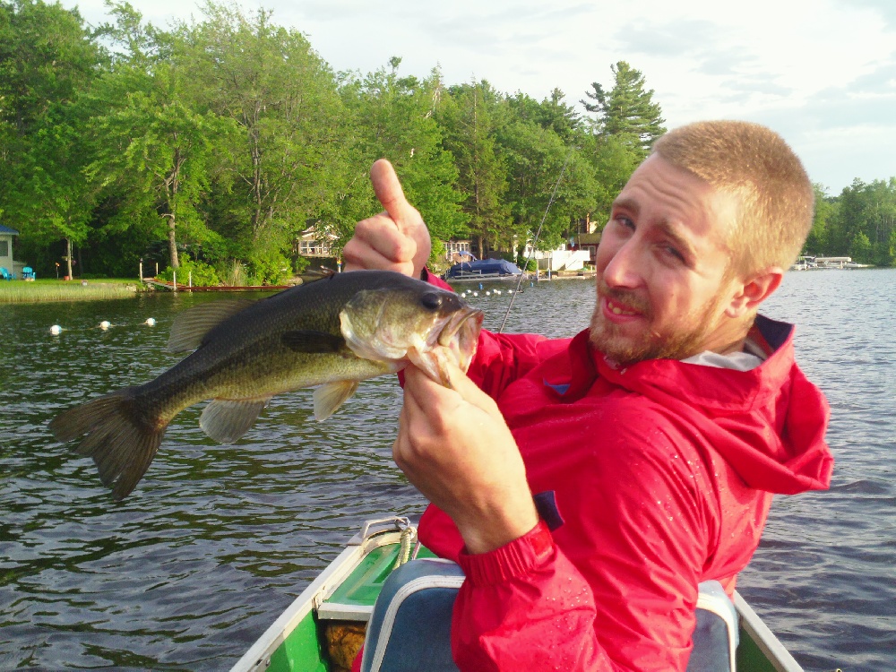
Photos
Fish Species
Angle Pond Baits and Tackle
Angle Pond Description
Angle Pond has a total area of 161 acres, an average depth of 14 feet and a maximum depth of 35 feet. While there is no public boat launch, there is town-owned shoreline access. The pond consists of Brown Bullhead, Black Crappie, Chain Pickerel, Largemouth Bass and Smallmouth Bass.